Services Surveying

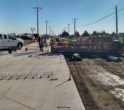
Surveyors play an integral role in land development, from the planning and design of land subdivisions through to the final construction of a wastewater, water, transportation, airport, land development, or community enhancement project. Our surveying department uses the latest technology available to provide rapid, accurate data to both clients and contractors.
Contact Us- Construction Staking
- Flood Plain Development
- Municipal Boundary
- Right-of-Way
- Boundary Surveys
- Easement Surveys
- Subdivision Platting and Re-platting
- Topographic and Profile Surveys
- Alignments
- Aerial Photo Control
- GIS Mapping
- ALTA/ACSM Certifications
- As-built Survey
- Commercial Drone Services
SurveyingCommercial Drone Services
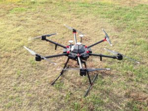
 EBH Engineering provides FAA licensed drone services to its clients and contractors through its surveying department. By using a drone, we save our clients time and money. We capture images and video that allows our clients to make more informed decisions about their properties. We are one of just a few businesses within the state of Kansas authorized to use drones professionally. Our ability to utilize this newer technology in conjunction with our competitive, multi-faceted services provides tremendous value to clients. With drone technology, we are taking civil engineering and land surveying to an elevated level. Our commercial drone services include:
- Aerial Photography
- Aerial Inspections
- Construction Site Progress
- Aerial Topography (volume and quantities)


